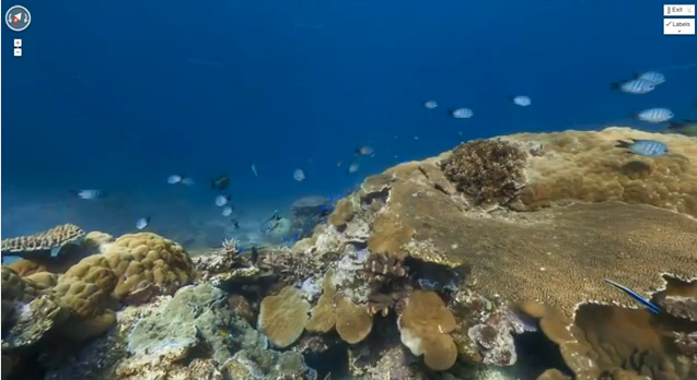
Google has taken its impressive Streetview mapping service to the next level, by giving users the opportunity to navigate around the ocean.
It seems that no corner of the globe will be left untouched by one of Google’s mapping cars or photographers, and after giving us a Streetview-style tour of some of the oldest tourist attractions and monuments on earth, it’s dived to the bottom of the sea.
Google has teamed up with The Catlin Seaview Survey to give us an incredible 360-degree view under the sea. The spots chosen to be mapped aren’t your average dull and murky seas, either; Google has sent teams to Hawaii, Australia and the Philippines to get images of some beautiful undersea scenes, so if you thought touring The Colosseum from your PC was great, wait ‘til you go exploring the Great Barrier Reef.
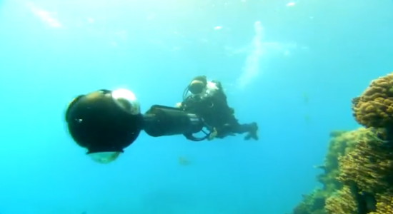
Six months worth of diving and image taking has resulted in a fairly extensive collection of panoramic views in these oceans, which we’ve been astounded by. The divers used specialist equipment which uses three different cameras to capture images once every four seconds, with each burst later stitched together to make a 360-degree panoramic image.
Each camera was actually controlled using a Samsung Galaxy Tab, which just adds to the impressive gadgetry used in order to make the maps we use.
Sounds good, right? If you fancy giving Google’s new Ocean Streetview maps a spin, head on over to maps.google.com/ocean. In the meantime, check out the video below for a closer look at Ocean Maps.
Let us know your thoughts on our comments below or via our @Gadget_Helpline Twitter page or Official Facebook group.


