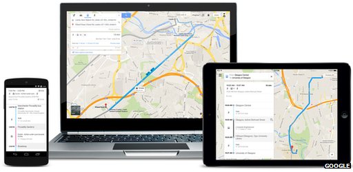
Google Maps can now access the time and route of all public transport options in the UK, covering trains, buses, trams and ferries in and around the kingdom. Google claims that the route possibilities total almost 17,000 options for customers.

The App, available on iOS and Android, now includes up to date information gathered from Traveline and National Express. Google’s manager for the new public transport system in Maps, David Tattersall, detailed the capabilities of the new update;
“You’ll now know when the next trip is departing, how many stops and how far your walk is between each station. You can also pick your preferred method of travel and whether you’d rather walk less or make fewer transfers, so you can compare and choose the best option for you.”
The competing map app from Apple on iOS 8 is also about to be updated, but we don’t know yet whether the service will include public transport information. Whether Google will stay ahead of the pack in that respect will be revealed in the Apple Maps update.
It’s not known how accurate the Google Maps integration with public transport will be, and, more to the point, whether it will show delays or not. Watch this space.


