Google Maps covers a lot of ground these days – both outdoors and now indoors. So much so that next up on the internet and software giant’s mapping agenda is our waterways!
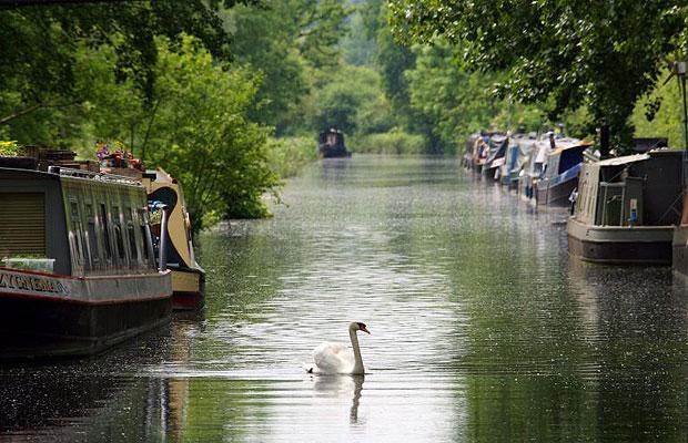
Starting with towpaths, locks and bridges future updates to Google’s sophisticated software will also introduce 2000 miles of Great Britain’s network of canals and rivers adding them as potential routes on the location and direction app for Android devices (but no longer iPhone). Recently trainlines and bus routes have been added to the vast mapping tool but the announcement that Google will tackle these offbeat roads less travelled comes as a bit of a surprise but there’s a motive behind the madness as Ed Parsons of Google Maps explains “Canal towpaths offer green routes through our towns and cities, and by working with the Canal and River Trust we’re adding towpaths to Google Maps and encouraging people to discover their local waterway.”
The Canal and River Trust is responsible for promoting the waterways and surrounding wildlife and Chairman Tony Hales shares his excitement for the plan and partnership with worldwide co. Google stating “We are delighted that these exciting partners have come on board as we launch. This is a huge vote of confidence in the Canal and River Trust and recognition of the important role it will play as the guardian of one of the nation’s environmental treasures.”
No news yet on when this will be included in a Google Maps update but we’ll keep our eyes peeled.
Let us know your thoughts on our comments below or via our @Gadget_Helpline Twitter page or Official Facebook group.
Source: The Guardian

