Tag: imagery
-
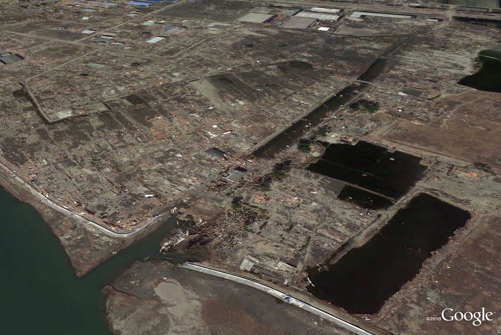
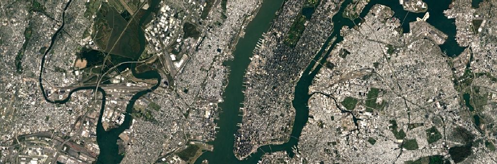
Google Maps Updates With Most Detailed Satellite Images Ever
Google Maps has received a major overhaul thanks to new satellite imagery which was introduced this week. The addition of 700 trillion pixels of new image data collected by the Landsat 8 satellite and by using digital combing to piece together a ‘cloudless’ mosaic means that the Google Maps satellite view and Google Earth are […]
-
Google Announces New Mapping Technologies For Google Maps
Google has today showed off a brand new mapping technology which is hoped will be widely used by….
-
Google Maps satellite imagery reveals devastation in Japan
Yesterday we wrote how Google Maps has now allowed us to explore some truly beautiful sights and European landmarks via its latest tour feature. Today the coin is flipped, as Google is releasing images from their satellite map service revealing the scale of the devastation caused by recent earthquakes and the tsumani in Japan. The […]